Let us know what type of content you'd like to see more of. Fill out our three question survey.
The Americas’ Effort to Integrate, Distribute, and Use Open Data to Make Decisions
Sep 27, 2018
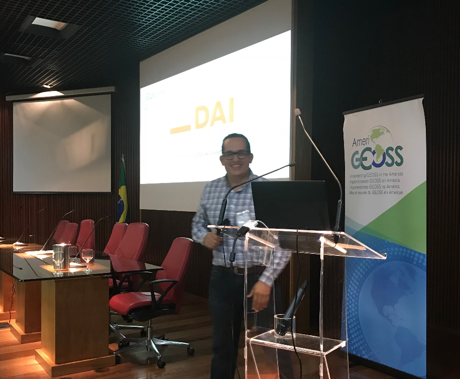
I was happy to represent DAI’s Center for Digital Acceleration at AmeriGEOSS week recently in Brazil, sharing experiences of how DAI has developed platforms and tools for decision-making in Central America.
AmeriGEOSS is a framework that seeks to promote collaboration and coordination among the Group on Earth Observations (GEO) members in the American continent, “to realize a future wherein decisions and actions, for the benefit of the region, are informed by coordinated, comprehensive, and sustained Earth observations and information.”
We met at the INPE (Brazilian Institute for the Space Research) and the AmeriGEOSS team presented its Datahub.
A Good Starting Point
The group found that the amount of data that AmeriGEOSS members produce was massive and required an open storage and distribution tool. It chose the Comprehensive Knowledge Archive Network (CKAN), a web-based, open-source management system for storing and distributing open data. Being initially inspired by the package management capabilities of Debian Linux, CKAN has developed into a powerful data catalogue system that is mainly used by public institutions that share their data with the general public.
Open Data, Open Government, the Connection with the Americas
With more than 344,000 datasets, 37 organizations, 40 working groups, and a catalogue of maps, tools, and applications for decision-making, the AmeriGEOSS Datahub is a good effort for data and geospatial information source for the Americas. Its applications include:
-
EcoExplorer: A web application that allows you to explore the data underlying the World Ecophysiography Map.
-
Sentinel Explorer: An application demonstrating analysis of Sentinel-2, 10m Multispectral, Multitemporal, 13-band images with visual renderings and indices. The imagery is sourced from Sentinel-2. This application is in beta release.
-
Sentinel 2 (NDVI): Sentinel-2, 10m Multispectral, Multitemporal, 13-band images with visual renderings and indices. This imagery is sourced from the Sentinel-2 and is updated daily.
-
Imagery—Landsat8: The most recent imagery from Landsat 8. This band combination (6-5-2) is good for agricultural studies, as healthy vegetation appears bright green.
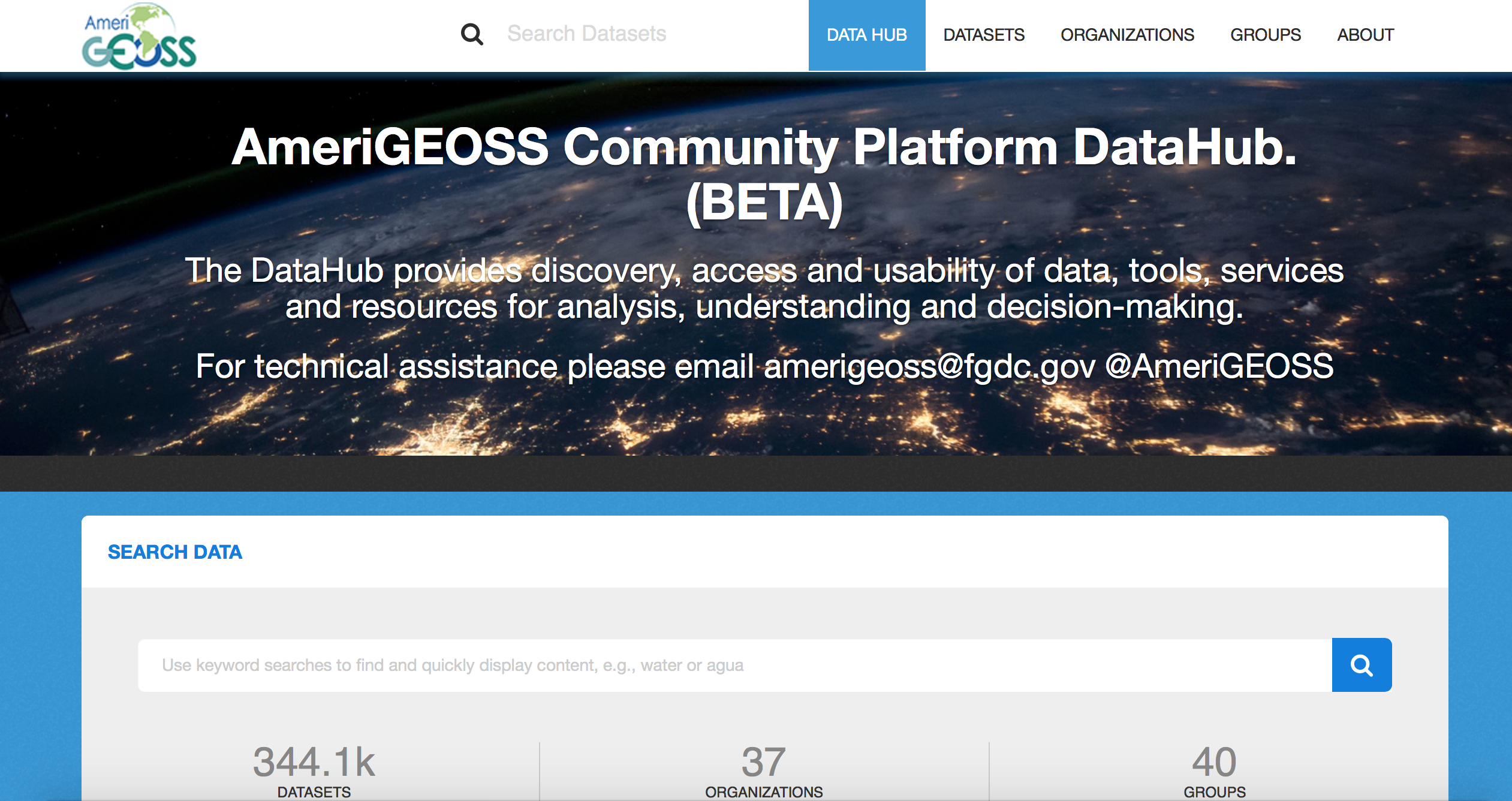
The Datahub has more than 344,000 datasets.
Most of this information can be used directly in the navigator tool or downloaded for other purposes, and the best… is free.
The Challenge: Create Community and Engage Users
The AmeriGEOSS technology allow us to integrate information and data from multiple sources and distribute it via different channels (data visualization, artificial intelligence, apps, maps, alerts, etc.). The knowledge management and learning process represents a challenge to those who manage these platforms. Better user engagement, and real user benefits, will only happen when we meet user requirements.
AmeriGEOSS is heading in the right direction, but more efforts and interactions with national and regional organizations must happen for humans to fully reap the technology’s benefits.